Education
Looe Community Academy is directly across the road, and Looe Primary School is around a 9 minute walk along Barbican Road.

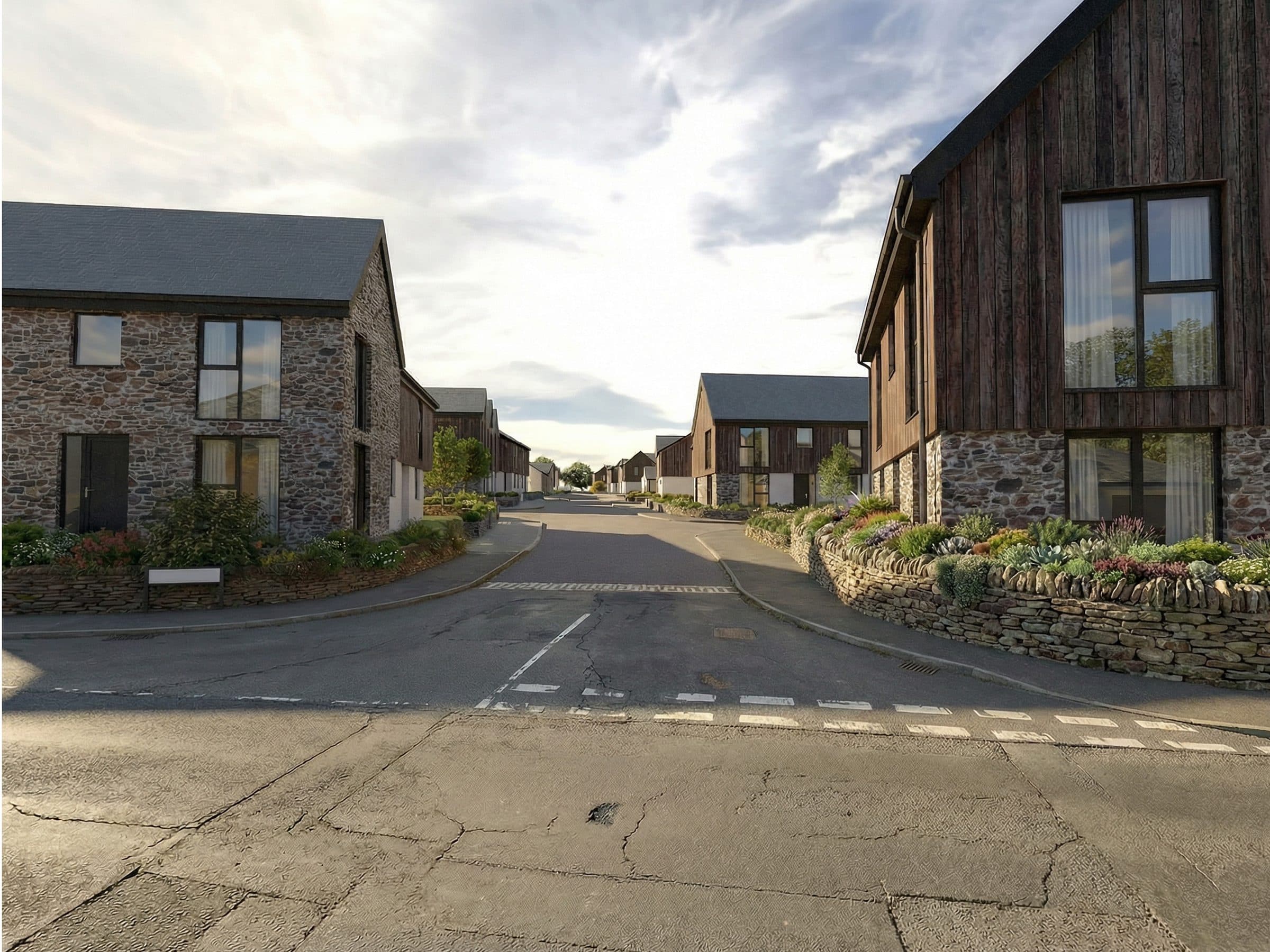
Land East of Barbican Road, Looe
The site extends to around 4.5 hectares (11.1 acres) on the eastern edge of East Looe, on land east of Barbican Road.
It is in a sustainable location, across the road from Looe Community Academy, next to the Barbican sports field and within walking distance of Looe Primary School and bus / rail services.
The site has no overriding planning constraints to development:

Map of East Looe, with the location of the site, east of Barbican Road, marked by a red dot.
The site is well connected to local services and facilities on foot, by bus and by train:
Looe Community Academy is directly across the road, and Looe Primary School is around a 9 minute walk along Barbican Road.
The Barbican Road bus stop is around 200 metres from the site. Route 10 (Plymouth to Polperro) runs around 10 to 11 times each way on weekdays and 6 to 7 times at weekends.
Looe station, on the Looe Valley Line to Liskeard and the main line, is less than 1 kilometre away, with 13 trains each weekday.
The site is next to the Barbican sports field, and the proposals include new public open space with circular walking routes.